80 Years Of Coastal Change
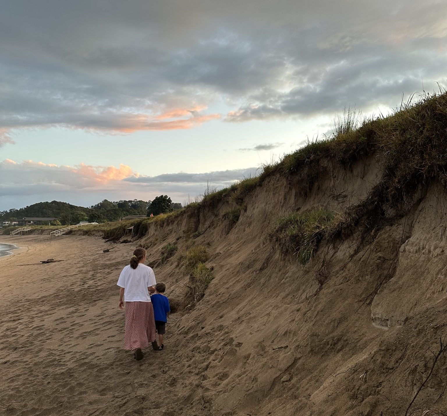
Coasts are dynamic environments undergoing constant change, they can both erode and accrete. We have mapped horizontal erosion (wearing back of the land) and horizontal accretion (seaward movement of the land, also known as progradation).
Proportion of NZ’s coast:
Eroding
24% eroding (high confidence)
16% eroding (low confidence)
Accreting
27% accreting (high confidence)
15% accreting (low confidence)
Other
4% stable
14% unresolved
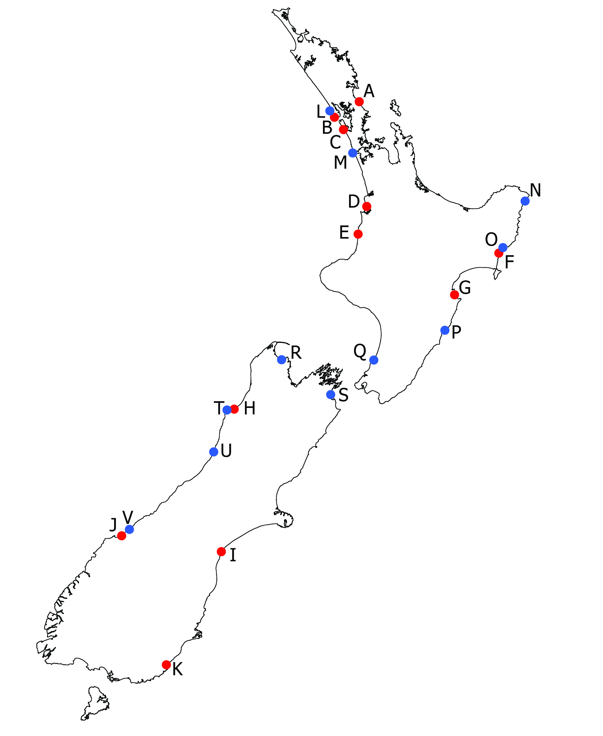
Table of selected hotspots of coastal erosion and accretion around Aotearoa New Zealand:
| Location | Average Erosion Rate (m/yr) | Location | Average Accretion Rate (m/yr) |
|---|---|---|---|
| A. Mangawhai sandspit | -1.4 | L. Kaipara North Head (coast) | 2.4 |
| B. Kaipara North Head (corner) | -6.4 | M. Whatipu | 9.7 |
| C. Muriwai (north) | -1.6 | N. Port Awanui (Gisborne) | 2.4 |
| D. Aotea (near Pirongia) | -1.2 | O. Gisborne (Poverty Bay/Turanganui-a-kiwa) | 1.3 |
| E. Coast near Huikomako Reserve near Waikawau | -3.1 | P. Porangahau River | 1 |
| F. Wherowhero lagoon barrier | -1.2 | Q. North Kapiti | 2.3 |
| G. Clive | -1.3 | R. Pohara Spit (Tasman) | 2.6 |
| H.Within Westport river (Orowaiti lagoon) | -2.5 | S. Blenheim (north) | 0.7 |
| I. Washdyke and Opihi River areas | -3.4 | T. Westport coast | 8.9 |
| J. Waiatoto River lagoon (Jackson Bay) | -1.6 | U. Greymouth (South Beach) | 0.7 |
| K. Molyneux Bay | -1.9 | V. Haast Beach | 1.1 |
The Science.
There are many drivers of coastal change. Six important drivers are described here:
Meet the Team.
More than 40 people worked on this project. Meet some of the core team:


