About Coastal Change
Aotearoa’s coastline, home to communities, infrastructure and cultural heritage, faces constant transformation driven by sediment supply, tectonics, sea-level rise (SLR), storms, vegetation changes, and human modifications.
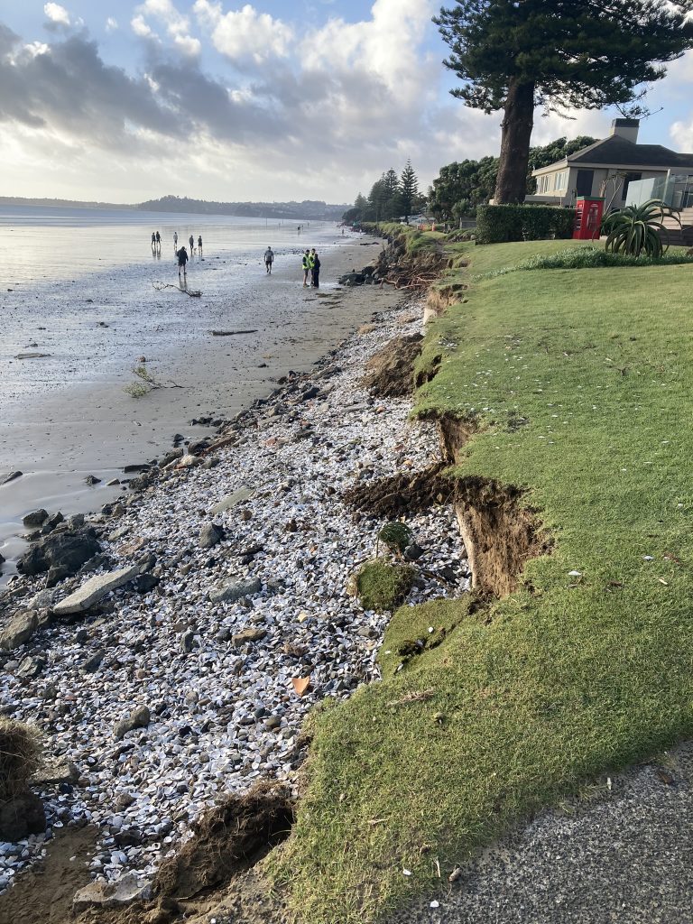
Coastal erosion poses an increasing threat necessitating coastal engineering interventions and potential relocation of communities. However, historic coastal change data for Aotearoa is lacking, until now, despite being crucial for planners, iwi, individuals and businesses to make sustainable coastal adaptation decisions.
Previous fragmented research has left spatial gaps, uncertainty, and limited accessibility of data. Our limited understanding of coastal hazards has exposed more of NZ’s population, infrastructure and cultural assets to the risks of existing and future coastal erosion and flooding. NZ has been challenged by local and global organisations to do better, with the OECD noting “There is an urgent need to ensure that coastal areas are adapting to the impacts of climate change. Risks in these areas are projected to increase due to rising sea levels and development pressures.”
The Coastal Change project within the Resilience to Nature’s Challenges National Science Challenge has completed the first nationwide mapping of coastal erosion accretion rates spanning the past 80 years. Our aim was to provide data that will inform more sustainable, just, and fair decision-making about how we live at the coast.
Funding for this project came from the Resilience National Science Challenge project between 2020- 2024. The last effort to coordinate a national coastal erosion dataset was in 1978 by Jeremy Gibb. Since that time, collection of coastal change information has been fragmented across multiple agencies.
Resilience to Nature’s Challenges Kia manawaroa – Ngā Ākina o Te Ao Tūroa is one of 11 National Science Challenges funded by government to tackle the big science questions facing Aotearoa New Zealand.”


